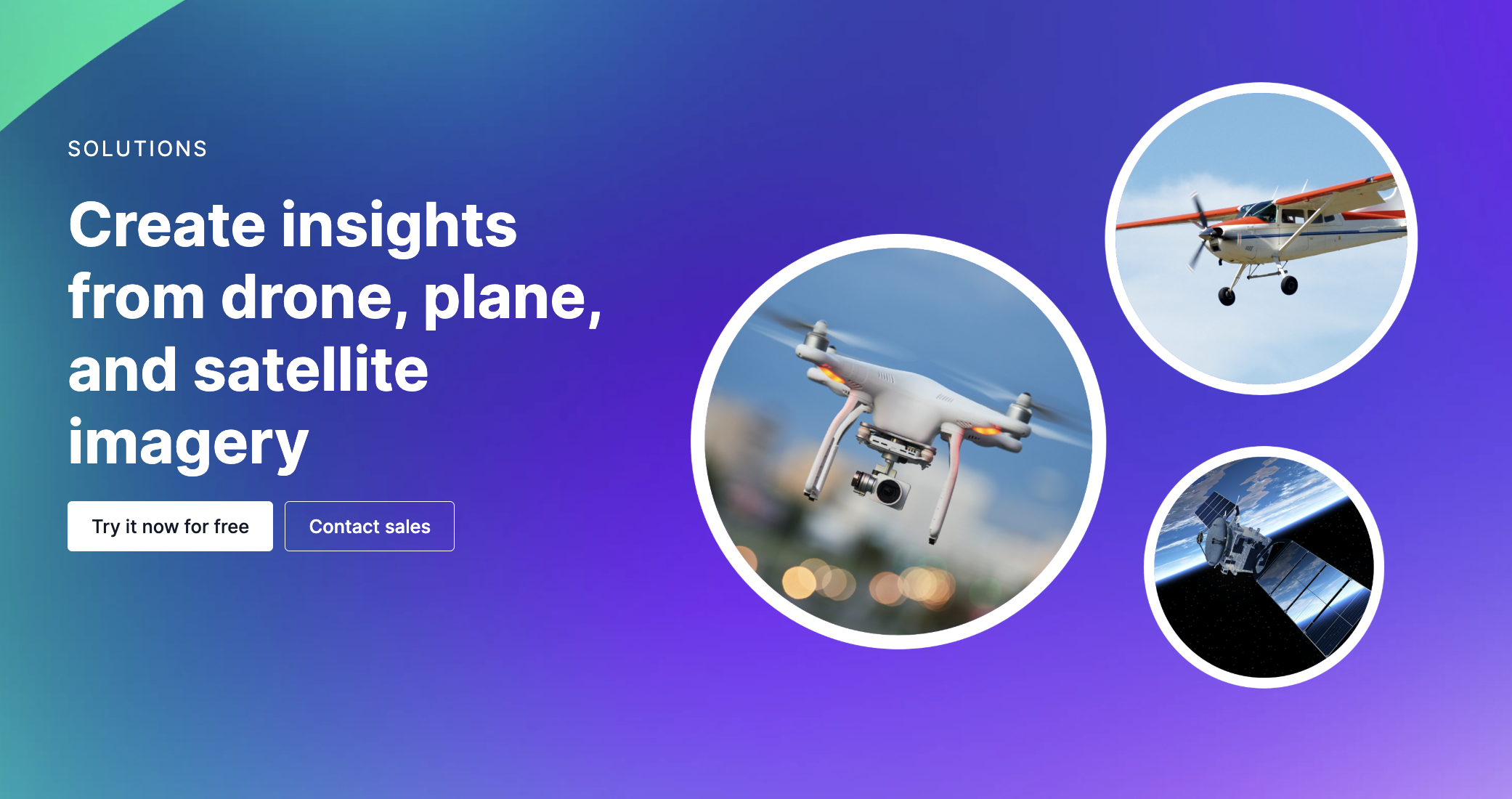
Turn hours of manual review into real-time intelligence with Roboflow’s vision AI, purpose-built for aerial imagery and high-volume data streams. Whether you’re inspecting infrastructure, monitoring crops, or surveying landscapes, our platform delivers accurate, flexible computer vision at scale, including:
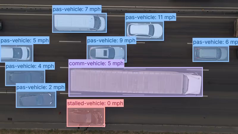
Multi-Object Detection and Recognition
- Detect assets, vehicles, people, or environmental changes across diverse terrains and perspectives
- Identify partially obscured or damaged structures with ease
- Track multiple object types simultaneously in a single frame
Flexible Deployment Options
- Deploy to edge devices onboard drones for real-time inference
- Integrate seamlessly with existing flight control software, mapping tools, and cloud workflows
- Maintain performance in challenging conditions like glare, motion blur, or variable lighting
Automated Tracking and Alerts
- Instantly validate conditions, from crop health to structural integrity
- Automate inspections, asset monitoring, and event detection
- Trigger real-time alerts, database updates, or flight adjustments based on vision data
Bring intelligence to every project, eliminate manual bottlenecks, and unlock new levels of speed, accuracy, and insight across your drone operations.